Yarra Ranges Council
Improving asset data in challenging circumstances
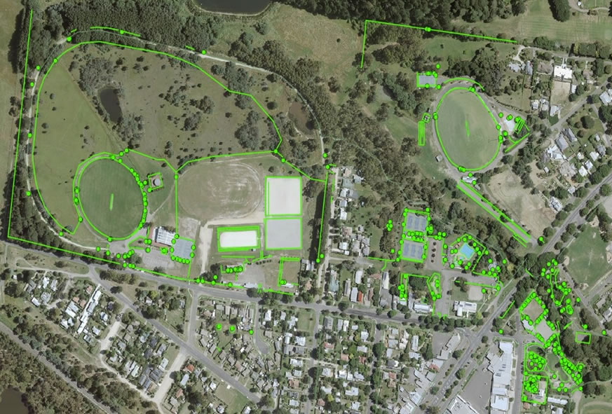
Council required assistance to assess and update condition data for its extensive network of pathways and trails. The network measured close to 820km spread over urban and isolated small townships, difficult terrain, and challenging data reception environments.
Prior to the commencement of our field inspections, Asset Lab undertook a comprehensive review of Council’s pathway and trails asset register and spatial data to address inaccuracies and anomalies in the existing data.
Working closely with Council’s asset team, we developed condition assessment guidelines and helped define pathway and trails segmentation rules.
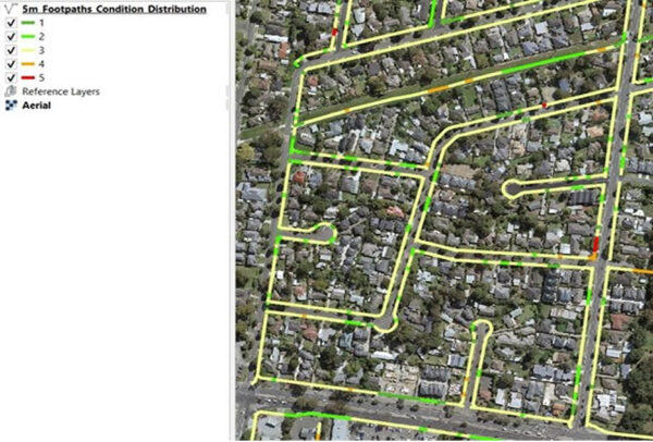
The condition assessment involved segmenting the entire network into 5-metre intervals, which resulted in approximately 164,000 pathway intervals being assessed for condition, material type, and width.
The challenges brought on by COVID-19 lockdowns restrictions meant that we had to continually innovate and adapt our work practices in order to deliver the required project outcomes.
Council now has an updated asset register that is 80% more accurate and provides reliable data for future asset planning.

